


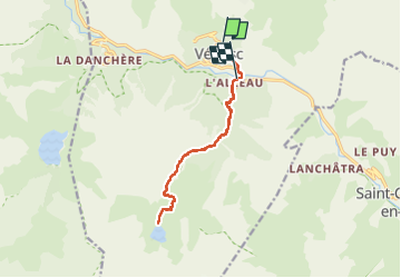

13,8 km | 24 km-effort

Benutzer


Kostenlosegpshiking-Anwendung
 SityTrail
IGN / Geografische Institute
SityTrail World
Die Welt öffnet sich für Sie
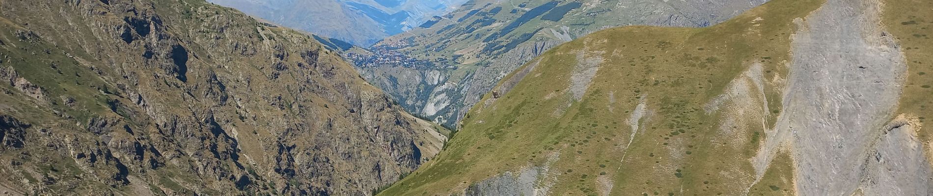
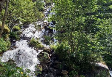
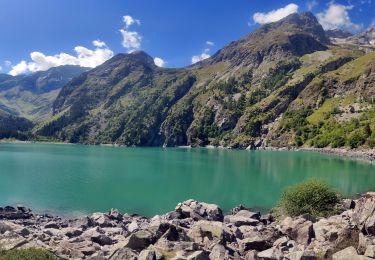
Tour Wandern von 14,3 km verfügbar auf Auvergne-Rhone-Alpen, Isère, Les Deux Alpes. Diese Tour wird von scalpy vorgeschlagen.
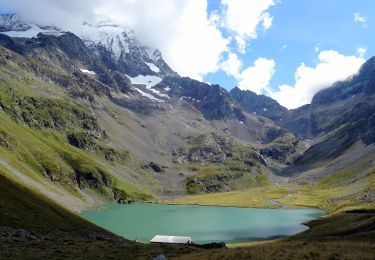
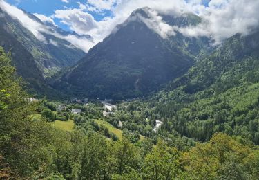
Rando en aller retour jusqu'au lac. paysage variés, vu sur les glaciers. magnifique bien qu'un peu long. La seule difficulté réside dans le denivelle assez important 1200m.


Wandern

Wandern
Wandern
Wandern

Wandern

Wandern

Wandern
Wandern
Wandern